
Alvord Desert Run Report
Friday, May 23rd, 2025
So we all met up on Friday morning, in the South Ridge Playfield parking lot after a quick check to make sure we had everybody we expected, we were off to the far SE corner of Oregon state.
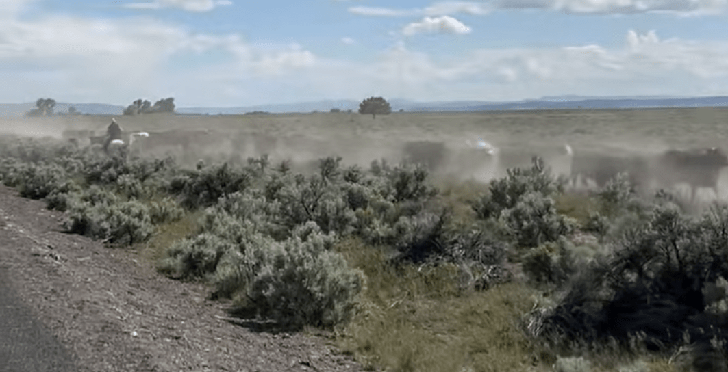
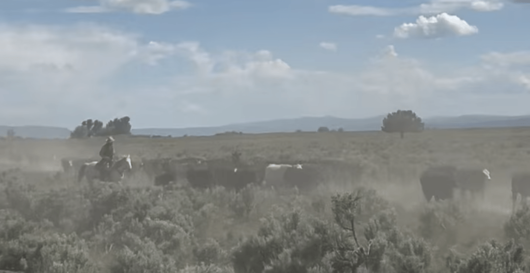
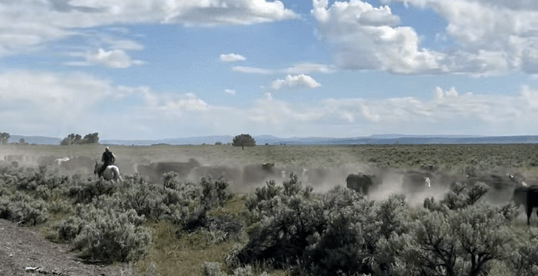
We fueled in Pendleton, and Burns on the long 5 hrs down to Fields Station, in Fields OR (Population <10). Just before getting there we saw a dust cloud coming our way, and I wandered what was causing it and along come a herd of cattle being driven by real cowboys, don’t see that much these days.
We gassed up at Fields Station, where they have there own tariffs ($6.25 Reg/$8.25 Premium), and then we got the bad news, the lakebed isn’t dry and hasn’t been for months. There is still standing water out there…
My mind started thinking we’re done, gotta reroute, so we called a pow wow, and decided to go look at Alvord Lake (as we’d never seen it with water in it, and the locals said there might be some dry ares on the southern end. How bad could it be, if it’s a bust we’ll find a place to camp and head elsewhere!
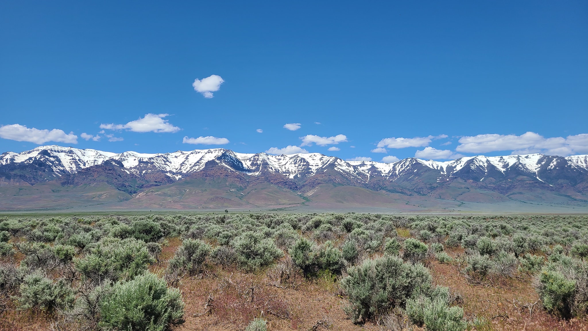
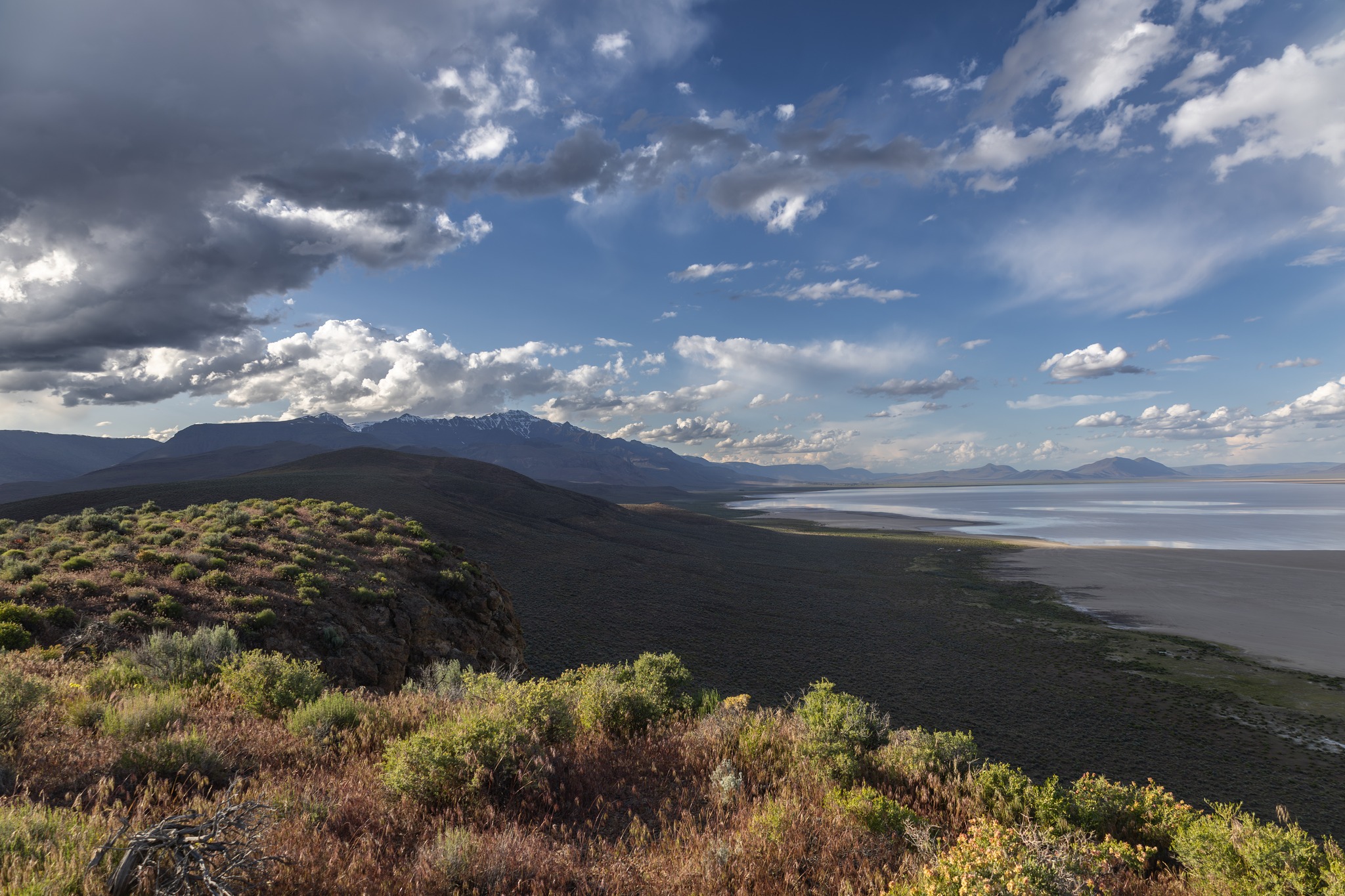
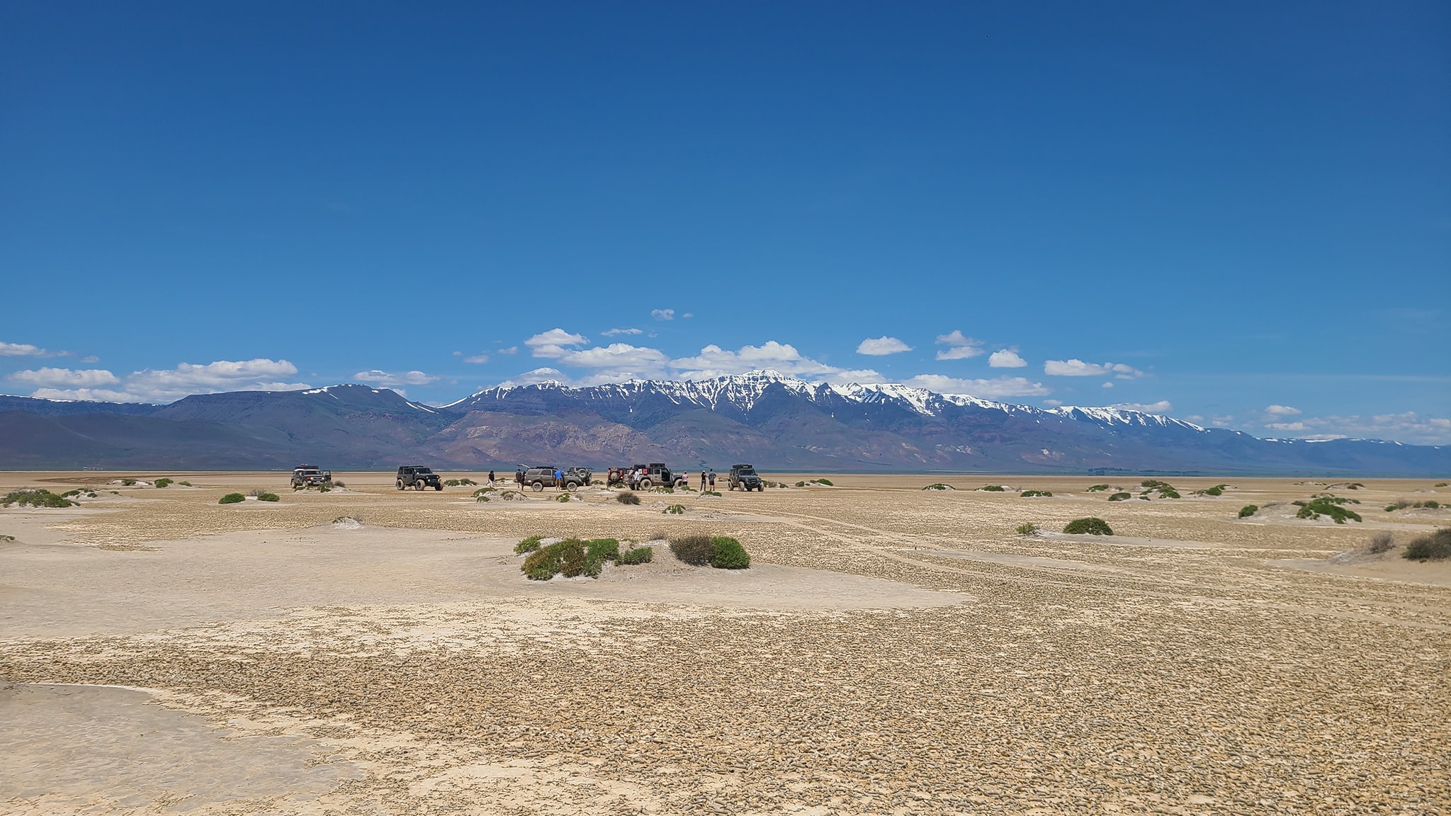
So we drove up to the lake and found that there was quite a bit of dry lakebed at the southern end, we just had to find a way down to it. I checked the route Mandi & I had taken on our last trip, it was filled with Subarus and SxSs, so we looked at options. We could see folks out there, now we needed a trail down. Mandi & Doug took a trip up to the overview, and I finally found the power line trail and dropped down onto the playa ( I then wandered around aimlessly while Doug, Karen, & Mandi watched then descended from the overlook, and met us on the playa.
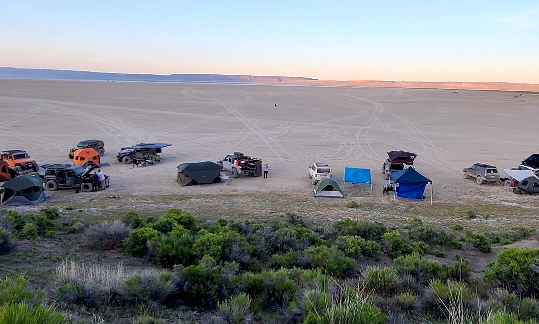
We made it! All of us were on the playa, we raced around a bit before settling on a spot to camp. Everyone set-up the camping stuff and we called it a night after some food and time around the Howl R4 (fire).
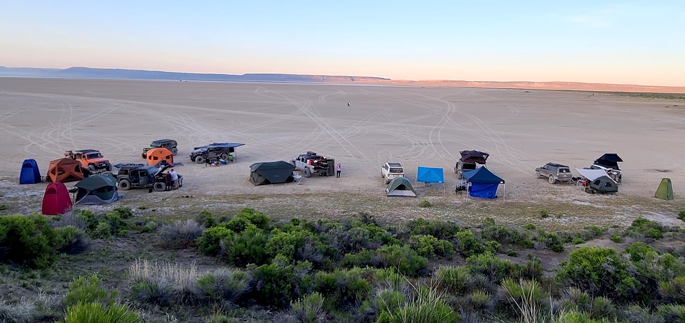
Alvord Camp
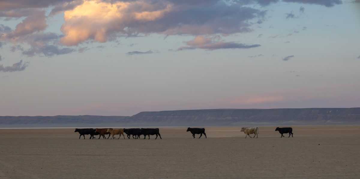
Cows
Heading down
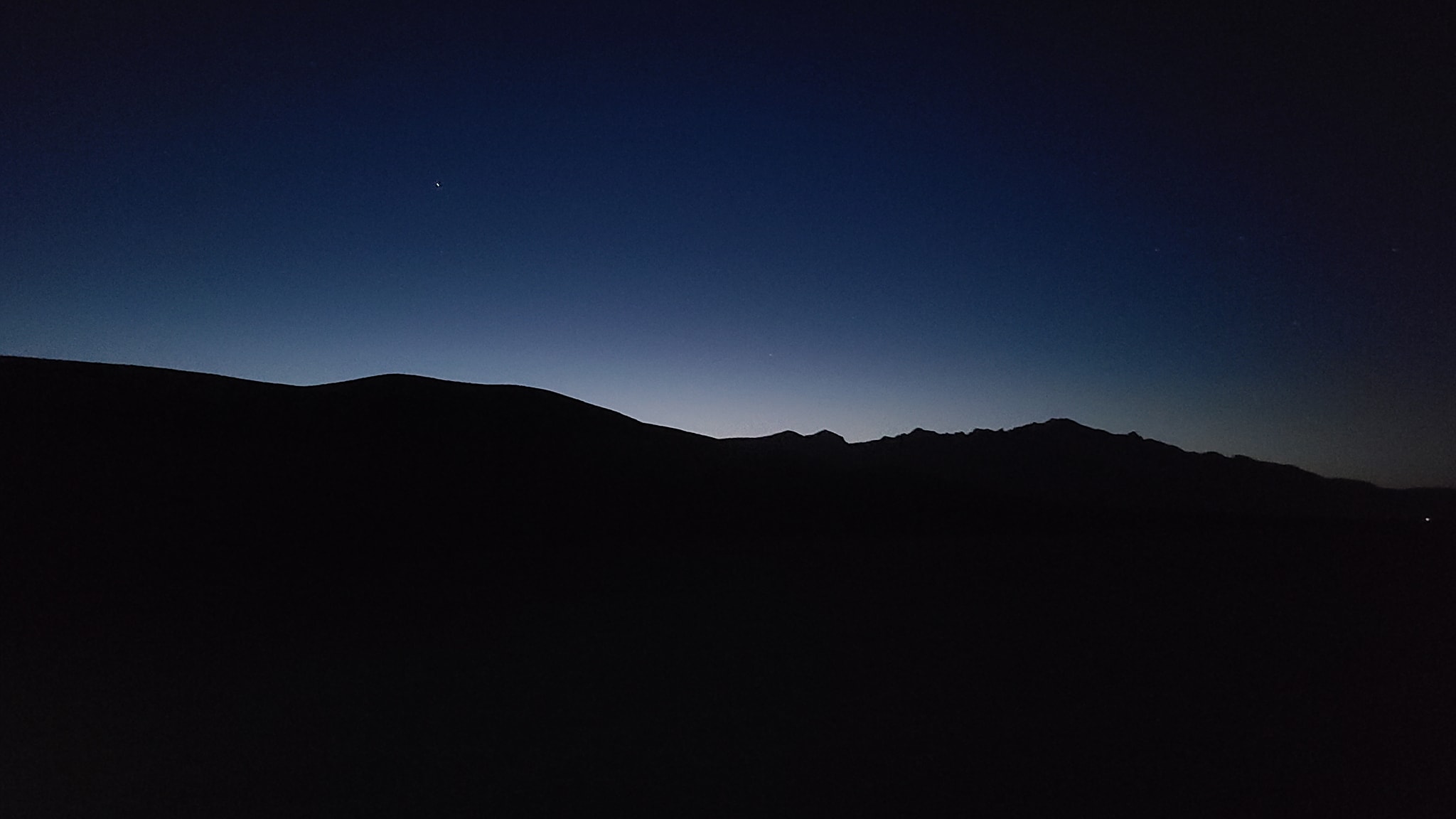
NIght
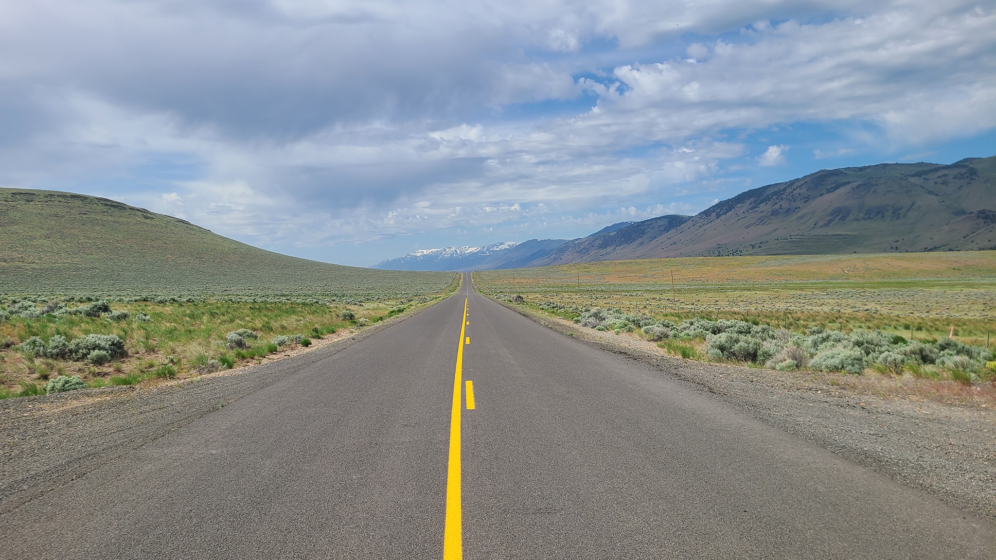
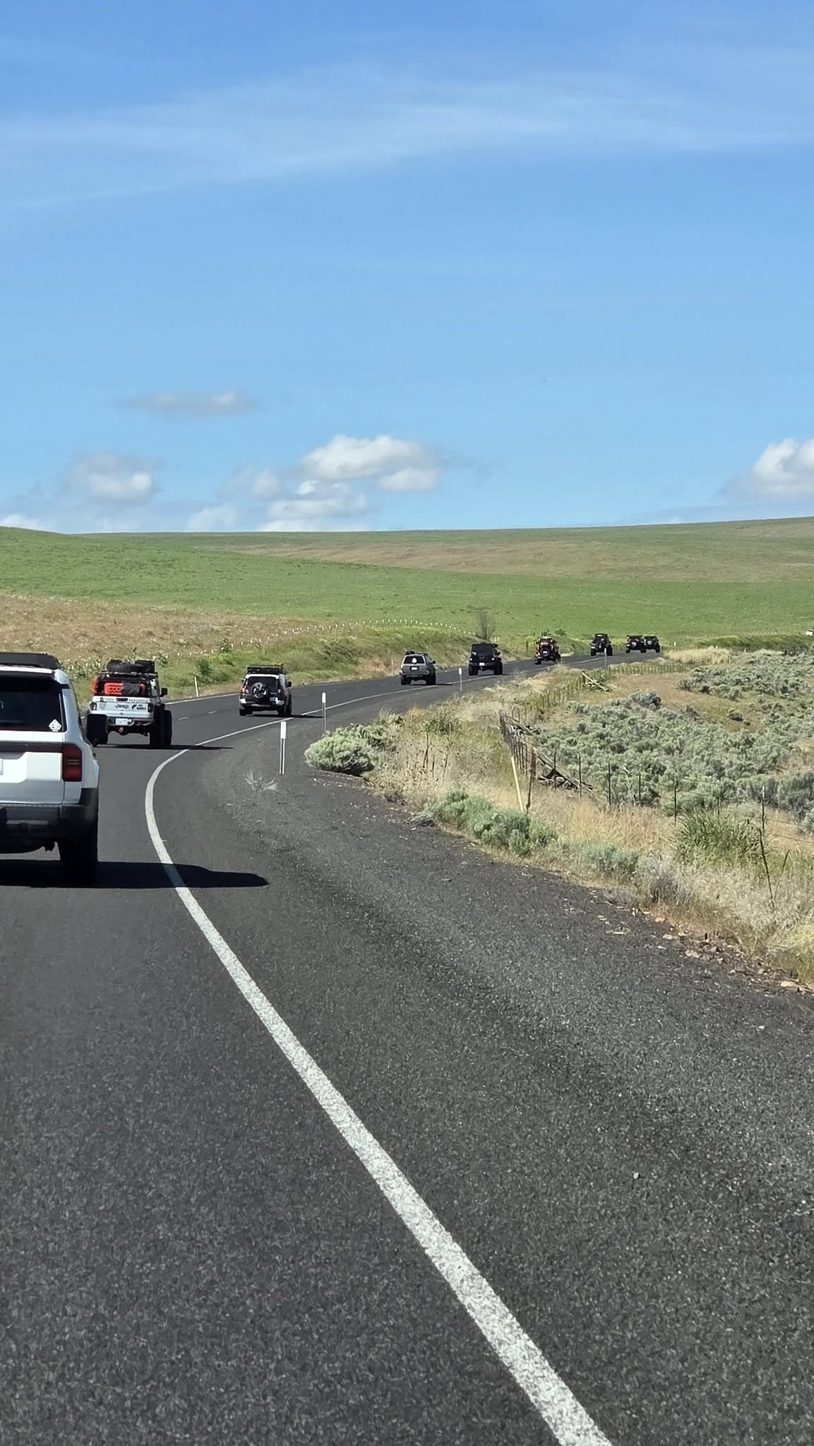
Open Road
Playa 2
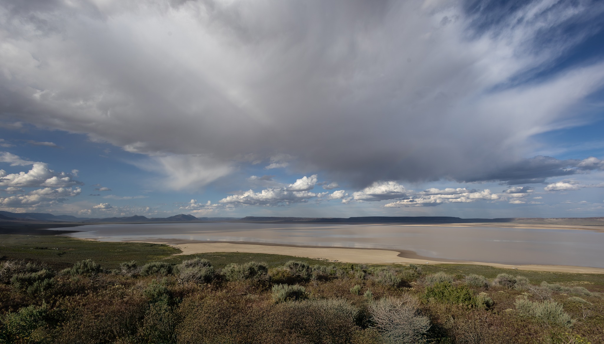
Playa
Real Cowboy 2
Real Cowboy 3
Real Cowboy
Saturday, May 24th, 2025
Bummer, John Martin had to head home for work this morning, as he had to catch a plane for the east coast. So we said our goodbyes and got to some fun.
Since we had a little time on our hands we all decided to scout out our original trail plans. Unfortunately the mapped route was under water, so we hunted around the playa to see if we could actually run our original route off the east side. It took us about an hour to work our way around the south and east side before we met up with our mapped route. Believing we could get out that way we decided to keep our original planned route, instead of wandering elsewhere.
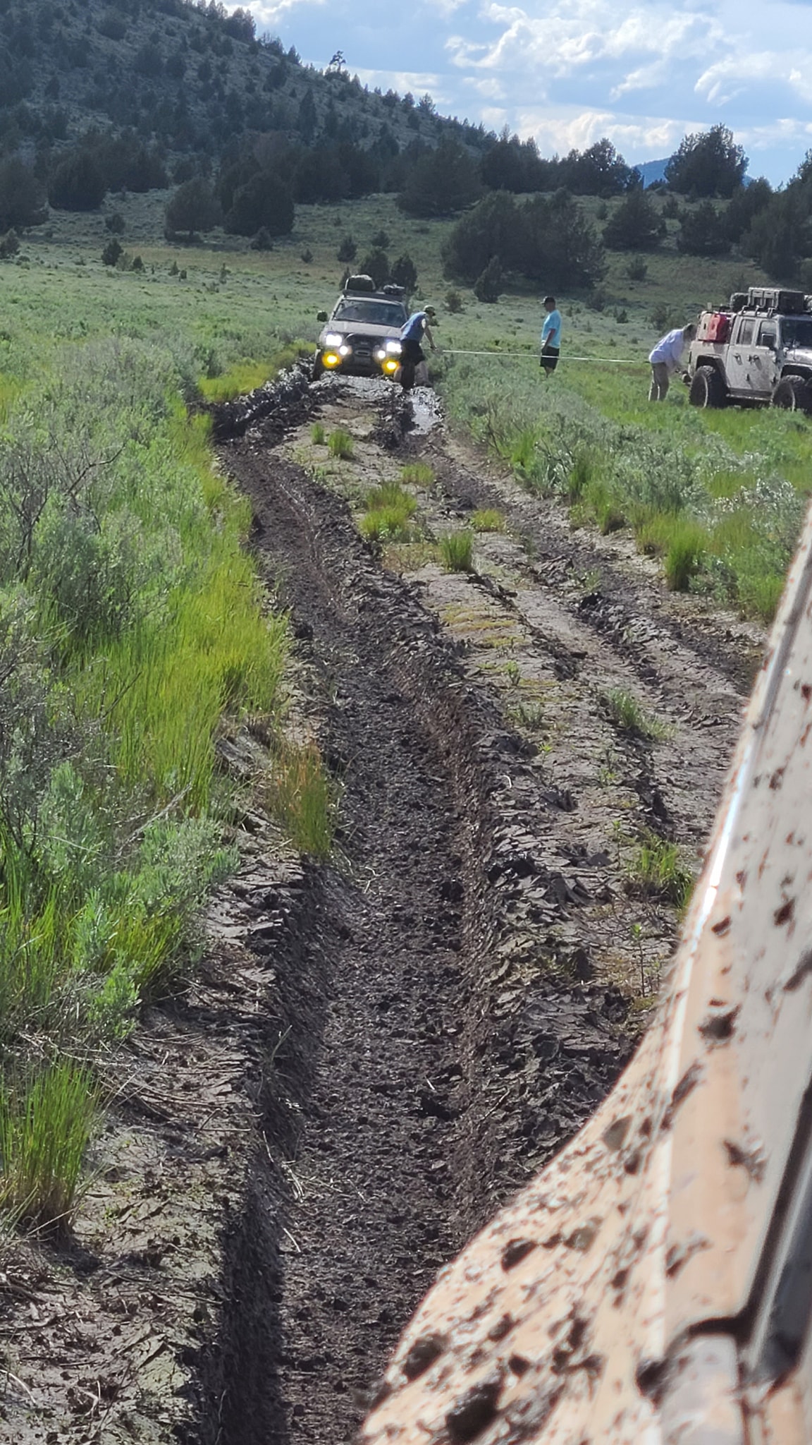
Since we had found what we were looking for we had decided earlier that once we knew that we’d head back to Fields Station for some of their cheap fuel and world famous Burgers & Shakes, but with a twist. I wanted to follow the waterline as far as we could, so we all headed South, we got about 20 mins down toward camp when the playa’s white looking surface started getting dark and we were all wondering if we had got ourselves onto a sort of peninsula or point of dryness.
I could see what appeared to be “Dry Land” just off to our left and made the decision to go for it, I had a little momentum going and cut straight across. I didn’t want to go full throttle in case there were any sink holes (that the signs around our camp warned about). I got a good way in when John comes over the radio saying “We’re going in…” I hammered it destined to get through, mud was flying everywhere (we’re in it now!), all I could think of, was get to the other side so I can pull anyone else through that got stuck, and we all made it out to the other side although one of our newer folks had a slightly tougher time as their tires were designed for highways not exploring.
From here we carefully worked our way back around and then to Fields station, and although they were hella busy (including a couple of bush planes) we got to enjoy their world famous shakes and burgers, and they were delicious! From here we refueled and headed back to our camp now hours later, but first we all climbed up on top of the overlook for pictures and the view.
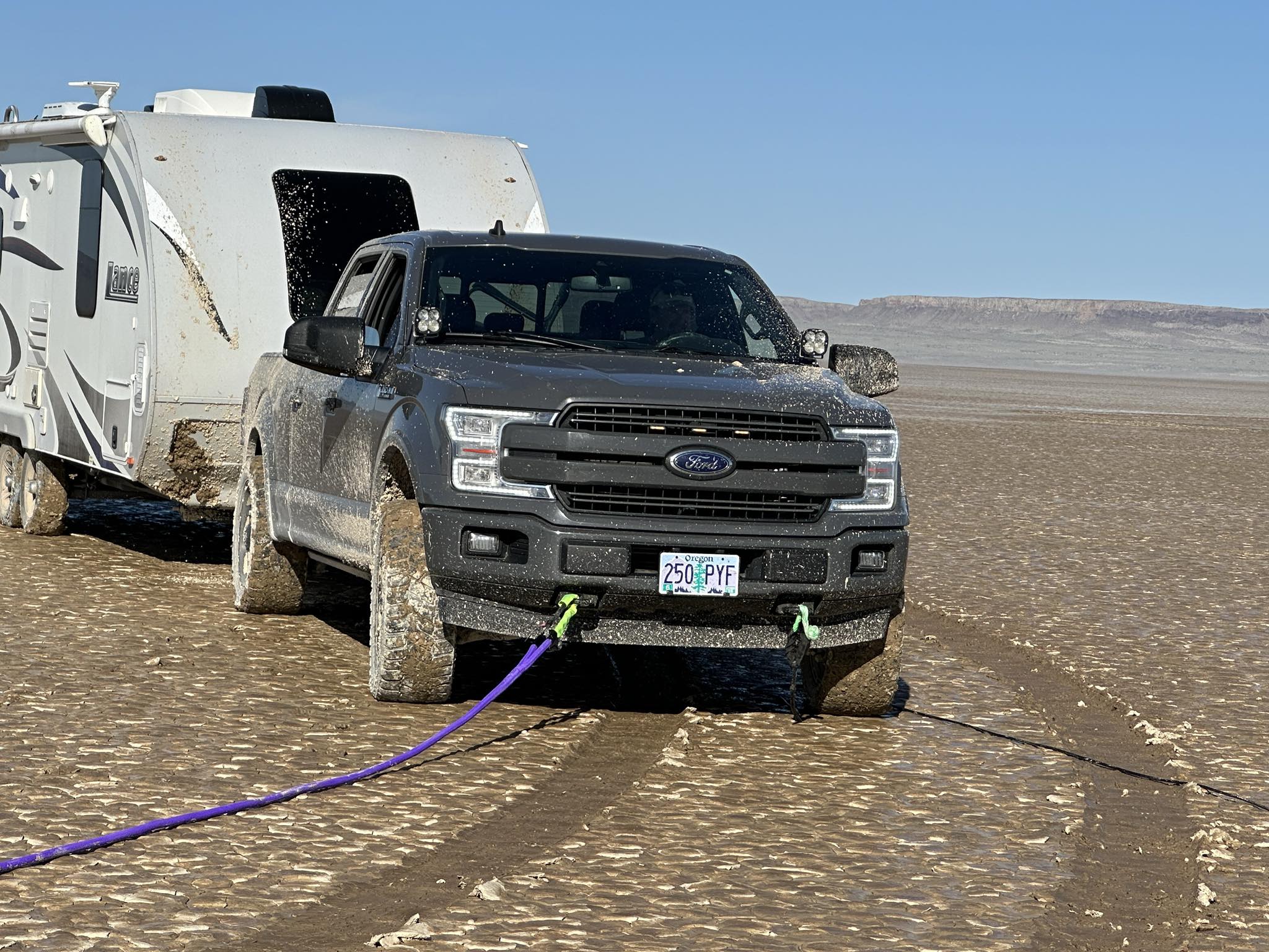
On our way back to camp we all noticed a camp trailer sitting out in the “dark zone” all by itself, so we inquired and offered our assistance in getting it out but the owner wasn’t back yet, so we went to camp and just as beer thirty was about to commence along comes a lonely F-150 with an elder couple asking if we were the “Magnificent Jeep Guys, who offered to help. So we all packed up and made our way out to rescue the trailer. 2 extended winch lines and a short tug was all they needed to get out, Mandi allowed Doug to use her brand spanking new PURPLE kinetic rope (#yankum), to get her first tug in, then we proceeded back to camp and our long awaited adult beverages and hung out by the campfire (Howl R4), before calling it a night.
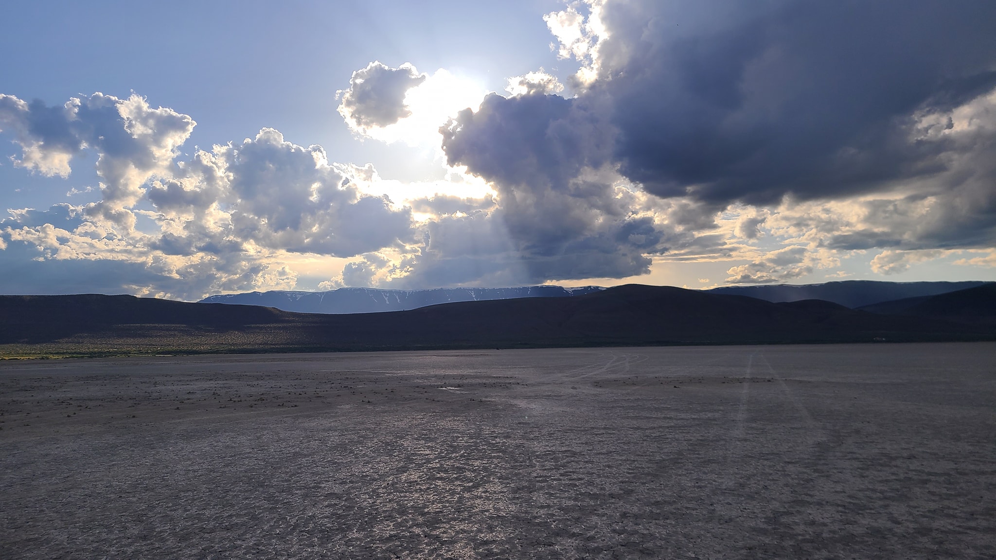
Sun rays
Steens 2
Steens
Purple Yankum
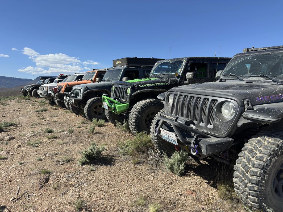
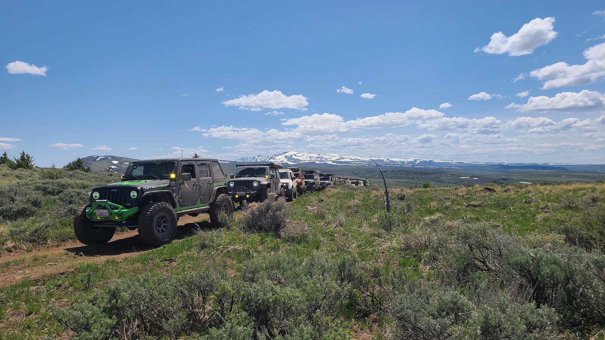
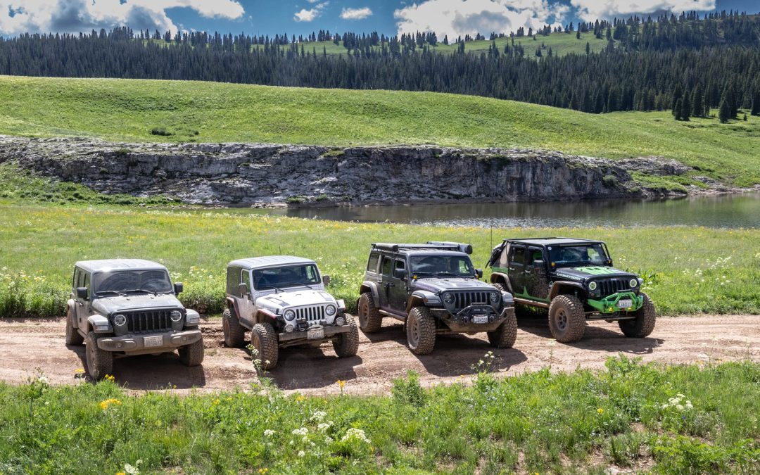
Line-up
Getting out
Sunday, May 25th, 2025
We awoke to another lovely sunny day and had camp packed up before 9. We set out to find our way out of the Playa on the eastern side avoiding the wet areas from the previous day. The route took us about 3 hours to get back to the gravel road (Hwy 201), because as we were creeping up towards the trail we were looking for we found a locked gate and Wilderness study area signs. We fanned out looking for an unlocked gate after some searching we found a gate with tracks on the other side and were on our way.
After reaching Hwy 201 we headed north and took a lunch break at West Mann Lake, mainly because it had a vault toilet and space enough for all our rigs. After lunch we continued north to our next trails for the day that formed a loop. Stone House Road, a steep and rocky incline from the canyon floor up from 4100 ft and topping out at over 5700 ft (a really bad time for my high speed fan to die – causing many run and rests while I cooled down, I think by now I’ve sufficiently heat treated my motor).
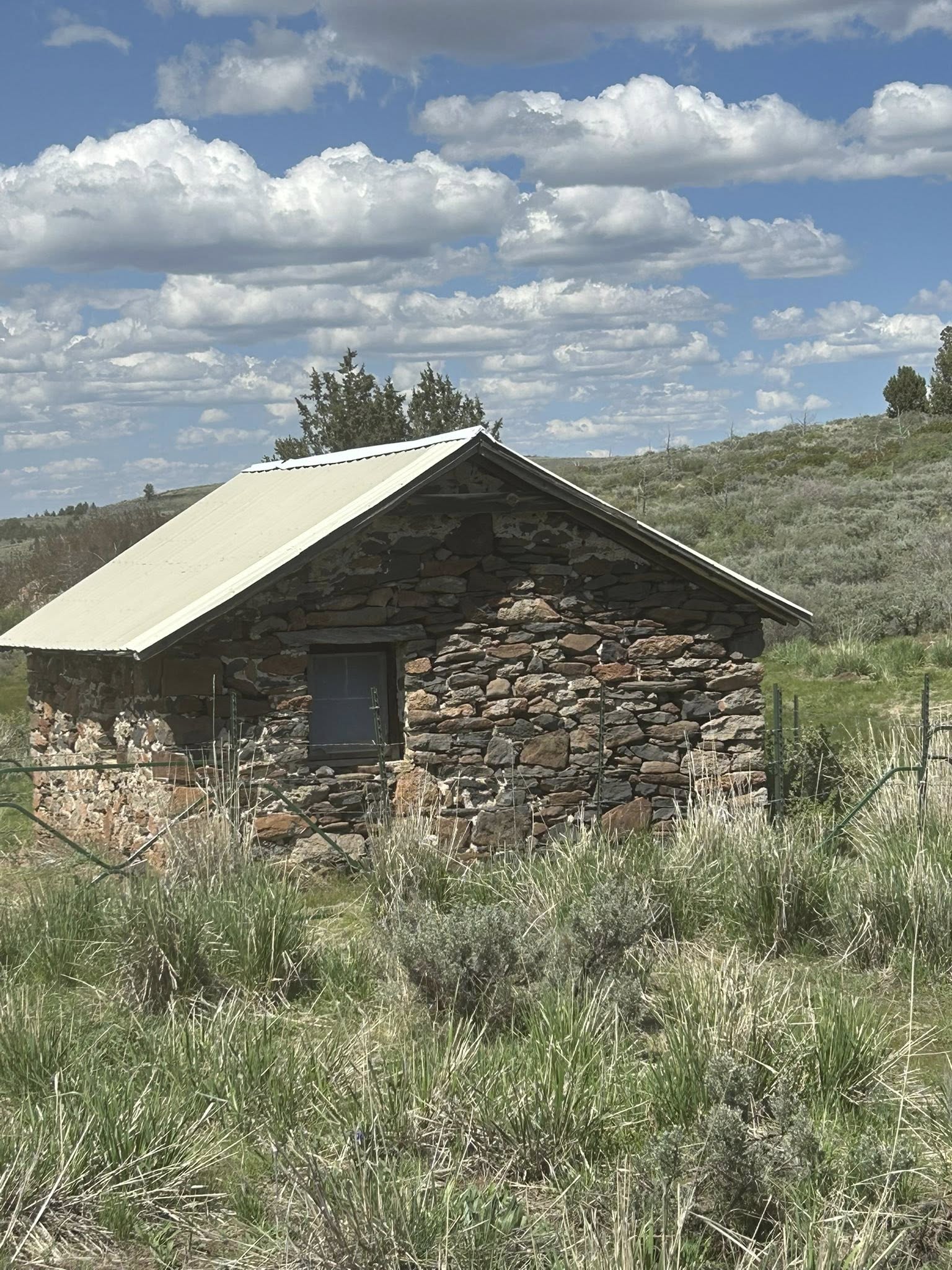
The trail then turns into Virginia Valley Road, which to the unassuming (like us) would blow right on by (and we did). I happened to glance at the map and realized we missed a turn that none of us saw until Doug looked a little harder and found it right next to a fenced in Stone House (we’re still not certain it was the road’s namesake or if another one further up was the “Stone House”).
We were really enjoying the views in every direction, many hours later we finally hit our final trail for the day Burnt Flat Road that would drop us back down to the valley floor next to a lake none of us had ever seen. It’s these kinds of things we live for, and our down trail (Burnt Flat Road) hadn’t been used much so we felt we were doing the trail a favor, we found a giant lake (not on the map) up there that we casually drove around the side of and I looked out my passenger window to see standing water next to me, then that sinking feeling, MORE MUD! Pedal to the floor mud slinging everywhere that I hope I got on video.
As we arrived at the valley floor with Doug & Karen in the lead, we are informed that the trail I had mapped drove right into Ten Cent Lake, so we took a couple of minutes to improvise and found a secondary route above a berm, that required a little wheelin’ to get around a couple of trees dead smack in the “trail.” We all managed to make our way around them and continue to the “campsite” I had marked (sight unseen). It turned out to be BLM land, but there weren’t any real great spots for tents, so a number of us set-up right on the trail (that nobody seems to use) and set-in for our last peaceful night on the trail.
While cooking dinner, we had rain clouds coming at us doing the rain thing, so I quickly got the awning out to provide cover for the rain while cooking/eating. I had already popped the shower/pooper tent out and got it set up, it was a little windy so we staked it down.
Unfortunately, nobody called the weather people and let them know it was to be a peaceful night so they dished us out some gale force winds and bits of rain. All of which had me putting our folding shower/pooper stall away in a hurry, as the wind had increased and it was now beating the side of Mandi’s rig up.
After dinner the weather continued to degrade and after enjoying a 3rd night by the fire, Ryan generously helped me put the awning away before climbing into the tent for the night. I slept like a baby, no heater needed that night, unfortunately many others were less rested as the wind apparently beat at them all night.
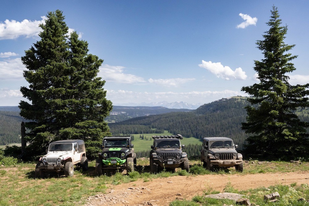
Traversing up high
Stone House
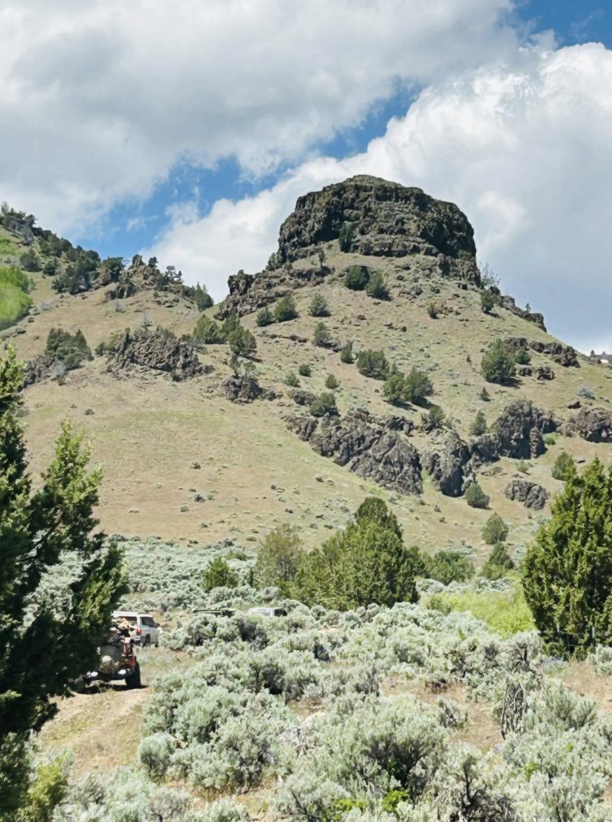
Stone House Rd
Mud up top
Monday, May 26th, 2025
We got up and hastily packed everything up, skipping breakfast hoping to grab something in Burns when we got there. None of us knew it would take almost 2 hours, it did. Upon arrival, we took over the car wash in droves to make the vehicles more presentable before fueling and grabbing coffee & grub. Then we gathered at Safeway, and then started our 5 hour trek homeward.
Then about an hour out of Pendleton, Lori comes over the radio saying they had a snake in their vehicle. We asked are you kidding, Ryan says ‘No it just slithered up and looked right at us from the front of the hood.” “I have to pull over,” he said. So we found a wide spot and waited, apparently the snake being a snake was good at hide and seek, as Ryan never found him and figured he must have bailed, so we proceeded back to the Tri-Cities.
Rumor has it Lori & Ryan’s security cameras went off and showed the now transplanted snake making his exit in the middle of the night. Great trip, great people if you weren’t there you definitely missed out on a very interesting one.
Cheers!
PS. All of the pictures were stolen (without consent) from those attendees that shared them on FB. Before you call me a thief don’t forget to thank me for doubling your exposures! LOL!


You must be logged in to post a comment.